6.7 Navigation, Orientation
backUnderstand /6
6.7.7 Navigating Without the Internet

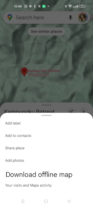
| Before we started the hike, Leo insisted we download the map of the area on Google Maps. ‘You never know when you’ll lose signal,’ he said. I thought he was being dramatic, but I did it anyway.
Leo said, ‘The trick is to download the map before you leave. GPS works with satellites, not the internet, so your location will still show up on the map even when you are offline.' |
- | Notes:
Always prepare maps for remote areas before a trip. |

| We were halfway through the hike when my phone lost signal. ‘No big deal,’ I thought. But then we missed a turn, and suddenly, everything looked unfamiliar. Leo pulled out his phone, opened Google Maps, and the offline map was right there. A little blue dot showed where we were. ‘See?’ he grinned. ‘The GPS knows our location, even if the internet is gone.’ He used the map to check for landmarks. There was a river to our left and a ridge ahead. The downloaded map helped us find the trail again. |
- | Notes:
|
| After a while, my phone battery started dying. ‘What happens if the phone dies?’ I asked.
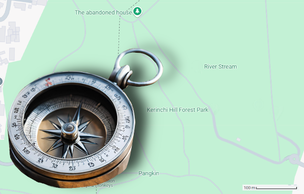
Leo shrugged, ‘That’s why I always carry a printed map as a backup and a small compass. Phones are great, but they don’t last forever.’ He handed me the map and showed me how to align it using the compass. ‘The top of the map always points north,’ he said. ‘We can figure out where we are by matching the landmarks around us to the map.' |
Notes:
|

| Thanks to the offline map, we made it back safely. Leo looked proud as he packed away the compass and the printed map. ‘Now you see why it’s smart to prepare,’ he said. I laughed, ‘Fine, you were right this time. But I’m downloading offline maps before every trip from now on.’ |
||
